Stay safe, celebrate responsibly, and enjoy a wonderful July 4th weekend with family and friends!
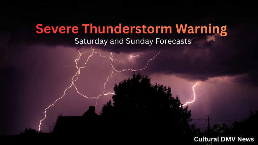
The National Weather Service’s Storm Prediction Center has officially instantiated Severe Thunderstorm Watch establishing a monitoring window effective immediately and terminating precisely at 22:00 EDT (10:00 PM) this evening, Saturday, July 4, 2026.
Geographic Scope
Saturday
The District of Columbia: Complete multi-quadrant coverage.
State of Maryland (16 Jurisdictions)
Central Maryland: Anne Arundel, Howard, Montgomery, and Prince George's counties.
North Central Maryland: Carroll, Frederick, and Washington counties.
Northeast Maryland: Cecil County.
Northern Maryland: Baltimore County, Harford County, and the independent city jurisdiction of Baltimore City.
Southern Maryland: Calvert, Charles, and St. Mary’s counties.
Western Maryland: Allegany and Garrett counties.
Commonwealth of Virginia (34 Jurisdictions)
Central Virginia: Albemarle, Greene, King George, Nelson, Orange, and Spotsylvania counties, alongside the independent cities of Charlottesville and Fredericksburg.
Northern Virginia: Culpeper, Fairfax, Fauquier, Loudoun, Prince William, and Stafford counties, balanced by the independent cities of Alexandria, Arlington (county-city equivalent), Fairfax, Falls Church, Manassas, and Manassas Park.
Northwest Virginia: Clarke, Frederick, Madison, Page, Rappahannock, Shenandoah, and Warren counties, in addition to the independent city of Winchester.
Sunday
1. Thermal Envelope & Heat Index Metrics
Peak Ambient Temperature: Upper 90s, peaking at exactly 96°F (35.6°C).
Maximum Apparent Temperature: Heat index values will reach up to 105°F (40.6°C).
Atmospheric Forcing: High surface dew points combined with intense solar radiation.
Regulatory Actions: Active Extreme Heat Warnings with extended, non-expiring durations.
2. Convective Instability & Thunderstorm Dynamics
Diurnal Timing Window: Scattered cell development initiated mid-afternoon, persisting through late evening.